
 Next-Generation Risk Intelligence
Revolutionizing Catastrophe Risk Intelligence
Transform from reactive Catastrophe and claims handling to proactive risk management with real-time weather alerts, comprehensive risk assessment, and intelligent stakeholder engagement.
Live CAT Alerts
Alert Analytics Dashboard
Alert Trends (Last 7 Days)
Top 5 States by Catastrophe Alerts
Data updates from National Weather Service and ArcGIS Wildfire Intelligence Gateway System (WFIGS)
Experience the Platform in Action
See how CAT Sentinel transforms complex risk data into intuitive visualizations and actionable intelligence.
Democratized Access to Risk Intelligence
Empower every stakeholder—from underwriters to policyholders—with seamless access to advanced geospatial tools, real-time alerts. Risk analysis is no longer limited to experts—it’s actionable and intuitive for all.
Proactive and Personalized Intelligence
Go beyond generic risk scores. CAT Sentinel delivers dynamic, hyperlocal insights tailored to your specific exposures—enabling proactive mitigation, smarter decisions, and fewer surprises.
Precision Underwriting through Real-Time Data Aggregation
CAT Sentinel fuses satellite imagery, on-ground sensors, policy data, and climate forecasts to create an unprecedented level of actuarial clarity—fueling more accurate pricing, capital efficiency, and long-term resilience.
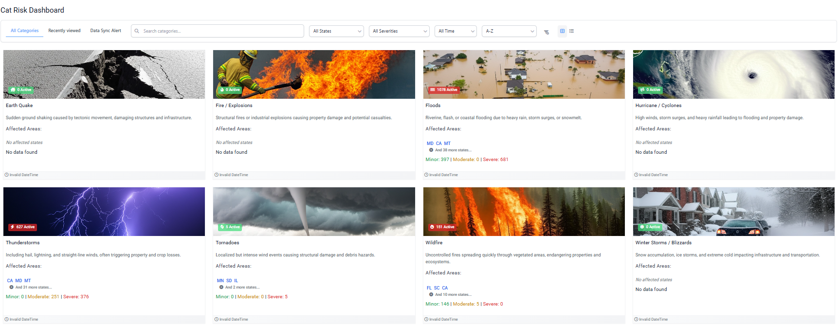
CAT Risk Dashboard
Get Started Today
Ready to revolutionize your catastrophe risk management? Contact us for a personalized demo.